See your holiday photos on a map
The new trip view lays your photos out day by day and on a map. The place names come from your own photos, worked out on our servers in Europe.

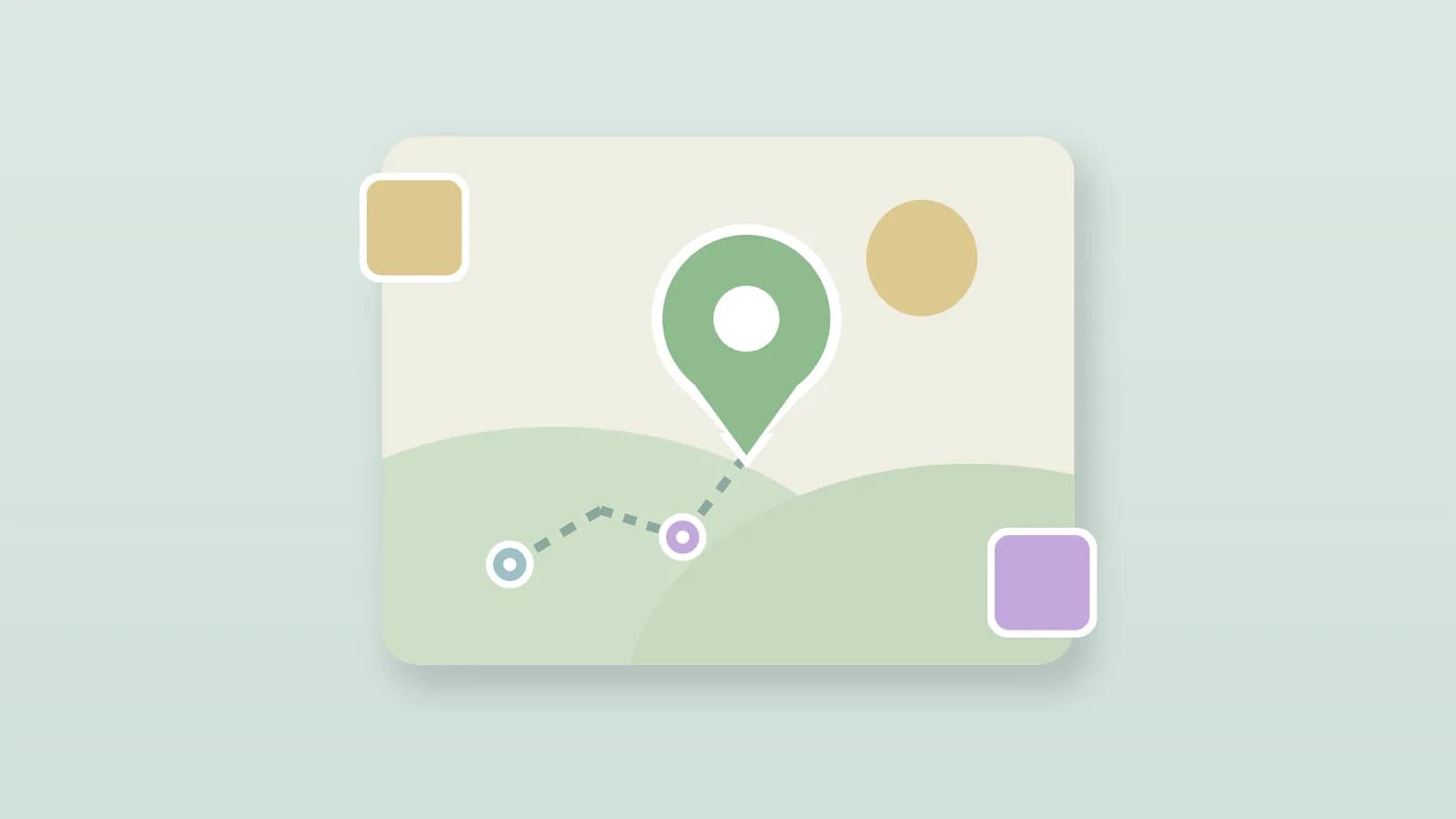
For illustration · a trip laid out day by day on a map
The summer holidays have just started, and in a few weeks you'll come home with a phone full of photos: the beach, the walk that ran longer than planned, the terrace where you lingered. Usually they end up in one long list, where the order of the days soon blurs. That's what we built the trip view for.
A trip folder shows your photos and videos not as an ordinary grid, but as the trip the way you made it. Above the photos sits a map with a short summary, and below that your trip runs from day to day along a timeline. You read it front to back, so day one first, exactly the order you travelled in.
Your trip day by day, with a map
At the top you can see at a glance what the trip was about: the dates, the number of days, how many photos it holds and the places you passed through. As soon as some photos carry a location, we plot those on a map too, so you get the route back. Below that, each day stands on its own, with a coloured dot on the timeline, the day number and the date.
- A summary at the top with the dates, the number of days and photos, and the places you visited.
- A map that puts the photos with a location onto the route: from the camera, or a place you picked yourself.
- A heading per day showing that day's route, from the first photo to the last. Stayed in one place, and it simply names that place; travelled on, and you read from where to where.
- That day's photos in a grid that adapts to the shape of each photo. A tap opens the photo large, and you spot videos by a play button.
The days simply count on through the calendar. If a day had no photos, a long travel day for instance, it still counts, so that 'day five' really is the fifth day of your trip.
Place names from your photos, worked out on our own servers
The place names come from the location your camera writes into the photo. Working out which place that is happens on our own servers in Europe, using a list of place names kept there locally. So for those place names, the coordinates from your photos do not go to an outside service. Only the base map comes from OpenStreetMap, which sees which area you are looking at. We deliberately keep the names at place level: the town or the city, in a city sometimes with the neighbourhood added, never the street or the address. If you gave a photo a location yourself, that always wins over what we work out. Our free photos on a map tool, by the way, shows you right in your browser which of your existing photos carry such a location, without an account or upload. And if you no longer know where a single photo was taken, where was this photo taken shows how to find the place back.
A location in a photo is sensitive information. That's why we work out the place names on our own servers, and a place name never mentions a street or an address.
How to make a trip folder
You make a trip folder yourself. When you create a new folder, pick 'Trip folder' as the type instead of an ordinary folder. Everything you then put in it is arranged by day and on the map on its own; there is nothing else to set up. Share a photo from such a folder later, and there is a small bar with it that leads to the whole trip view, so the people you share with see the trip in the same order.
With the holidays just beginning, this is a good moment to set up a trip folder for them. Add your photos to it by day and your trip is in order straight away, with no sorting afterwards. If you'd like to begin, create a free account; the trip view works on the web and in the apps. For a bigger archive you can pick a roomier plan later. And if you're tidying up anyway, our guide helps you keep twenty years of family photos tidy.